-40%
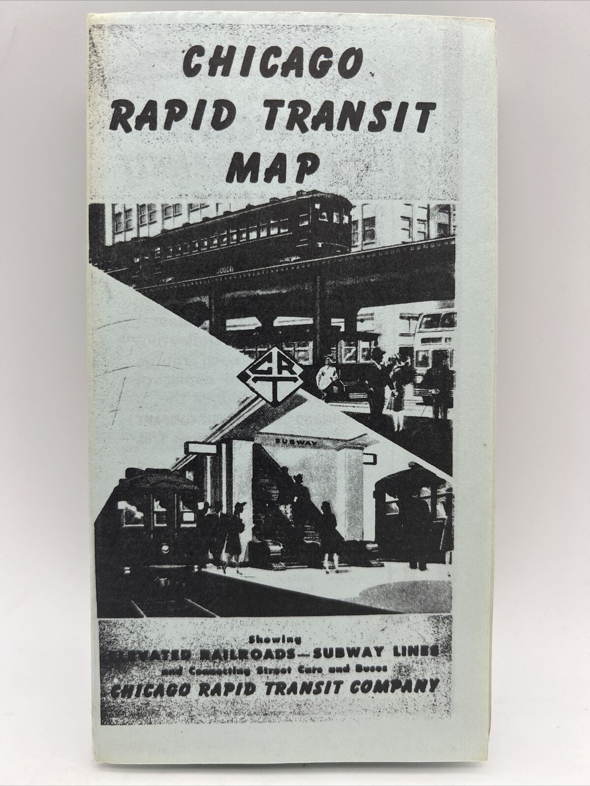
1943 CHICAGO RAPID TRANSIT COMPANY MAP Railroads Subway Lines L Train Loop City
$ 36.96
- Description
- Size Guide
Description
1943 CHICAGO RAPID TRANSIT COMPANY MAP Railroads Subway Lines L Train Loop CityThis is an original collected by a former CTA (Chicago Transit Authority) who retired in the 1980s.
The printing is by Poole Bros. in Chicago, but if you will note other similar maps, this does NOT have the date of January 1, 1946 in the lower left "Chicago Rapid Transit Lines" box. And, in the lower right, there's an explanation about the opening and progress of Chicago's subways - with Route No. 2 only 80% complete.
On the back, in the section about "Subway Facts", there's an explanation about the progress of the project which was being hampered by lack of materials due to World War 2. It is also obvious that the printing of this version is not the fancy multi-colored version you see in 1946, and looks more like a "photo copy" (didn't exist at the time). I believe that this is also a factor of the materials shortages (which included paper) during the war.
All in all, this is a great snapshot of the development of public transportation in Chicago and its history, and not your run-of-the-mill transit map.
