-40%
Lot of 12 National Geographic Travel Maps 1953-2013 USA, Canada, Asia
$ 7.89
- Description
- Size Guide
Description
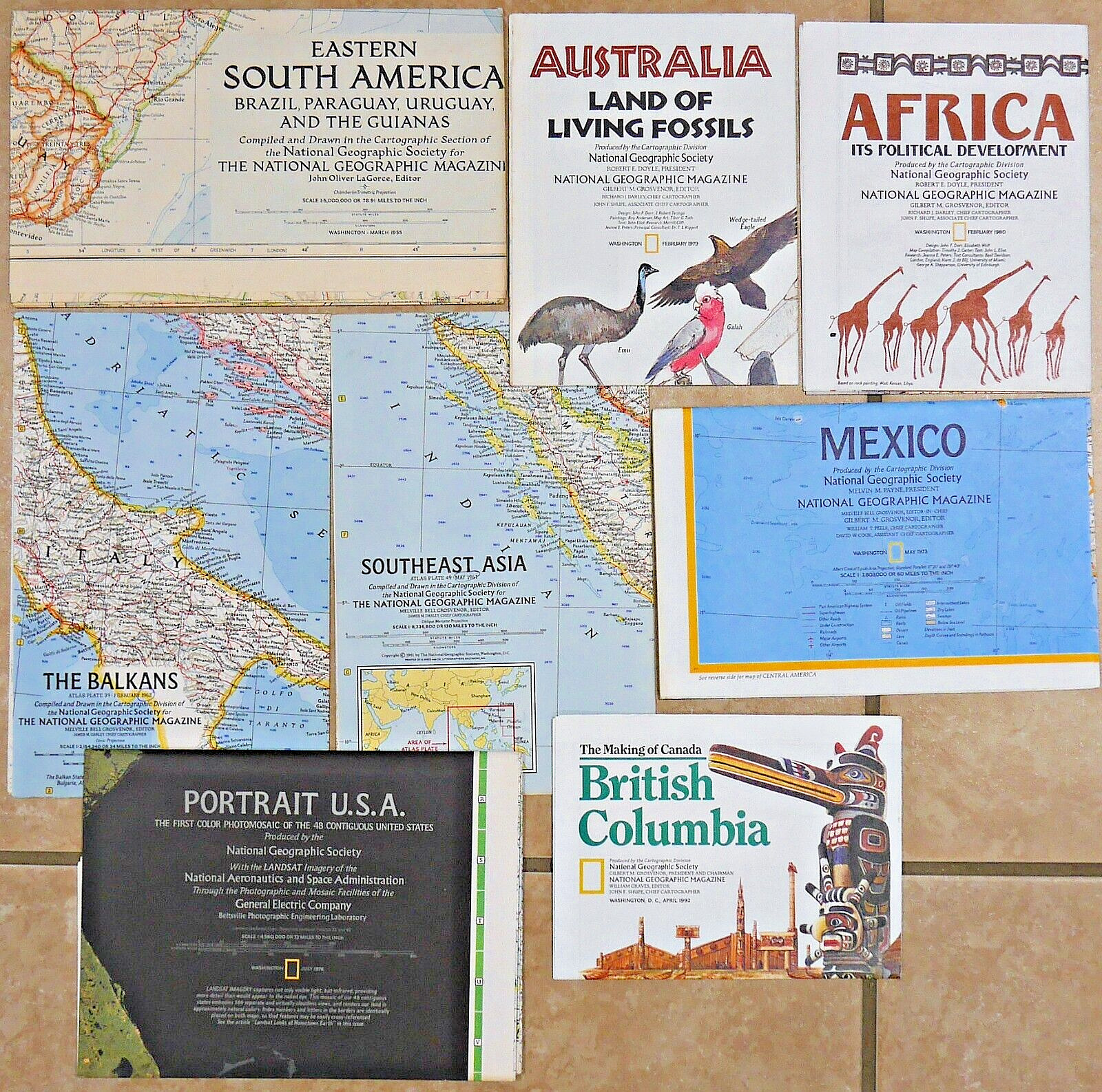
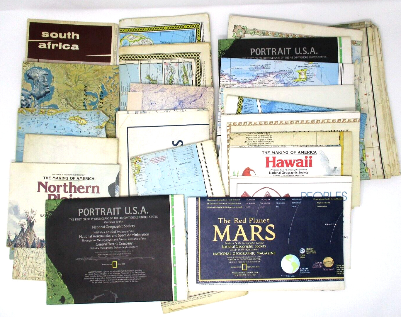
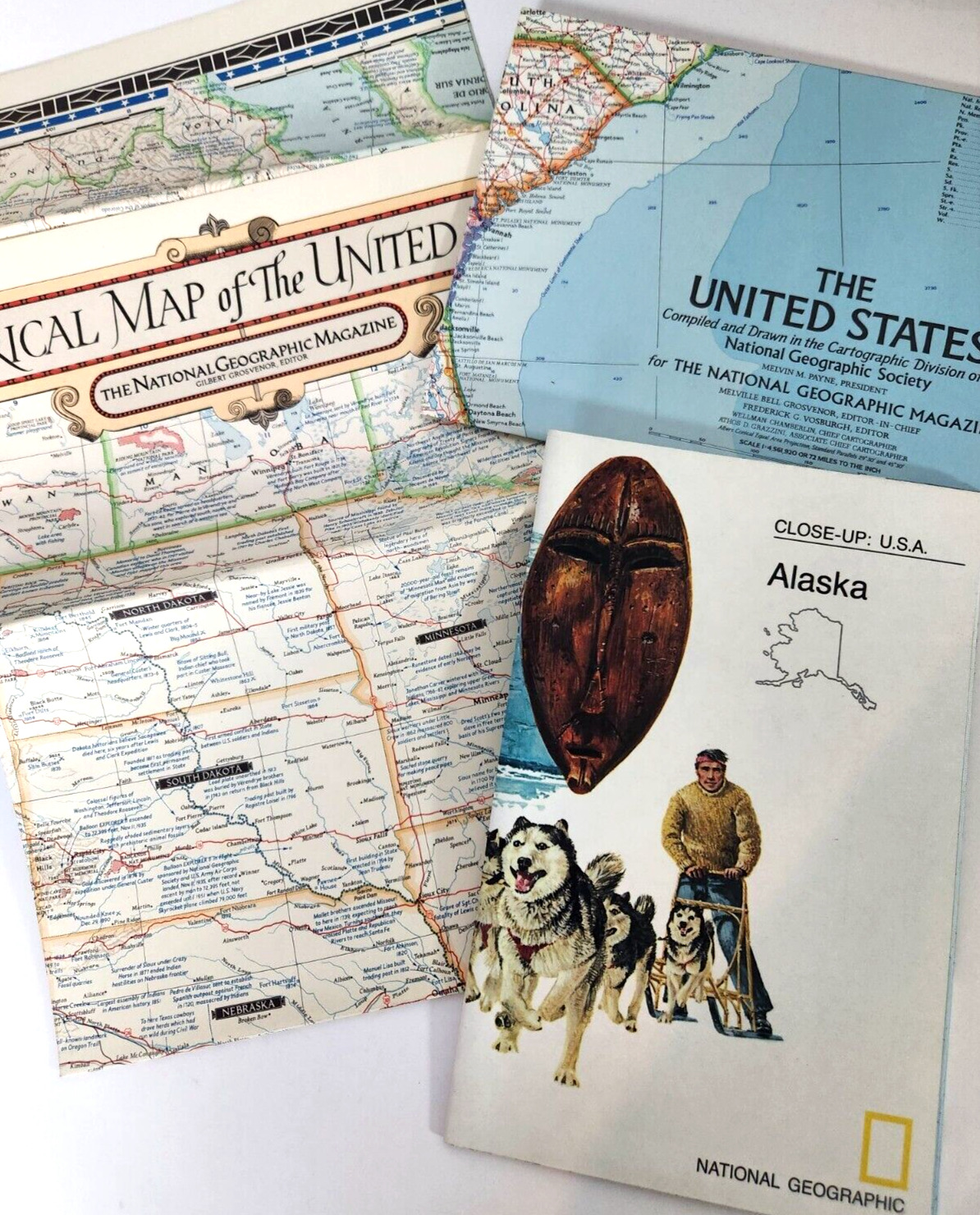
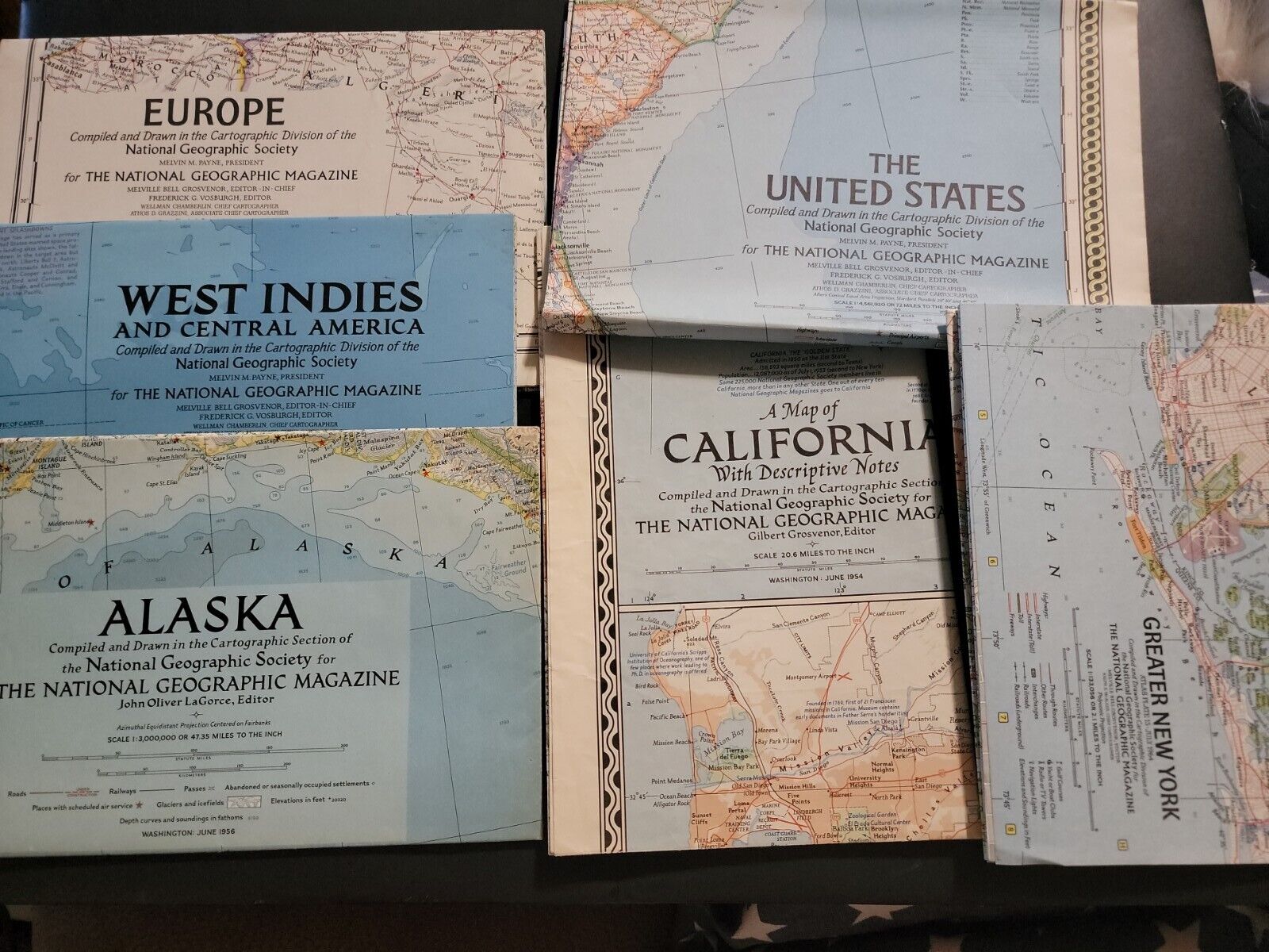
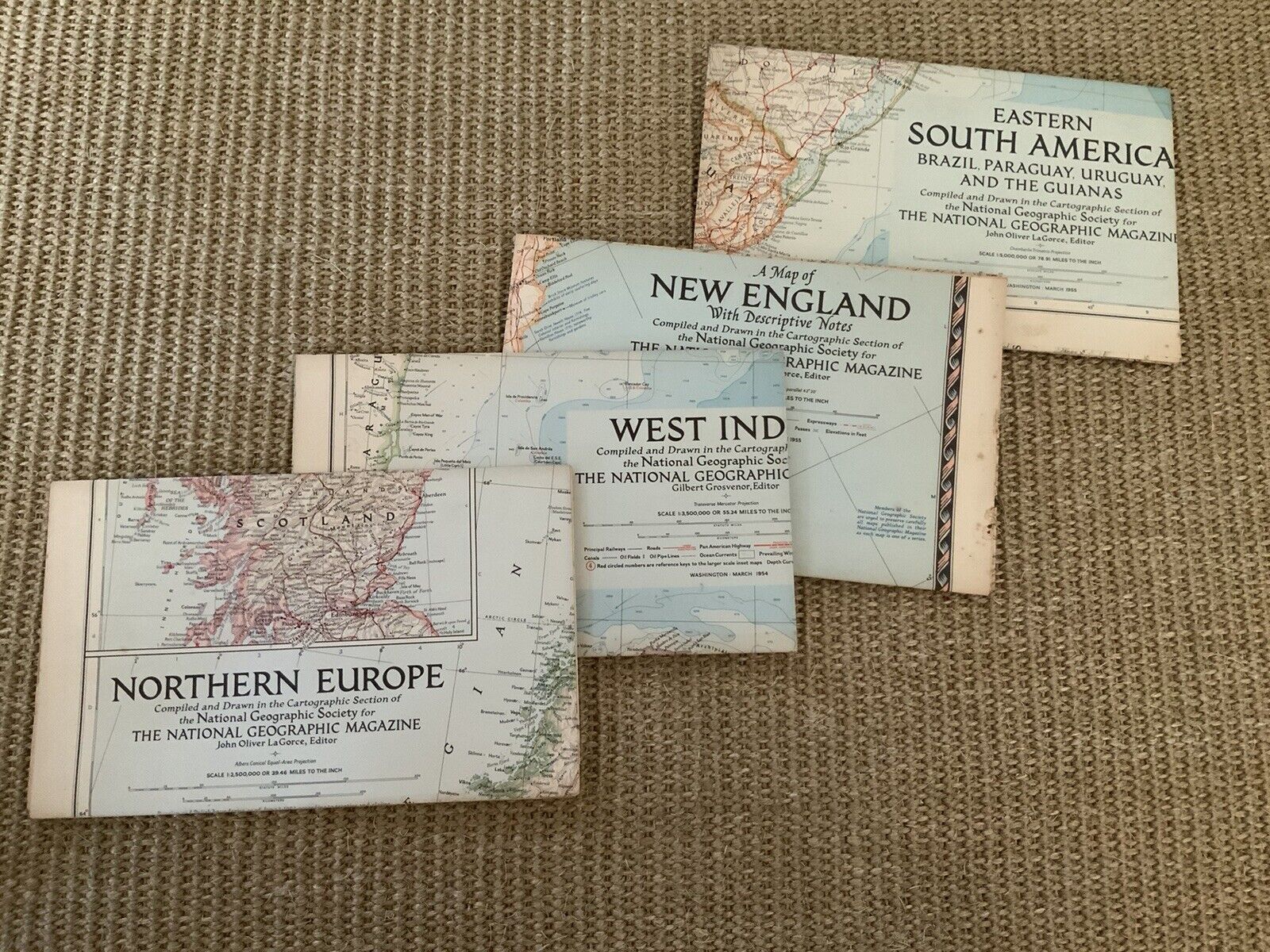
You're viewing a mixed lot of 12 full color travel maps created by"NATIONAL GEOGRAPHIC"
covering a variety of countries and interesting features dating from 1953-2013. They are perfect for students, art and scrapbook projects, and much more! The smallest map measures approximately 25" x 19" ( 63.5 cm x 48 cm ) and the largest is 49-1/2" x 33" ( 126 cm x 84 cm ). This particular lot includes the following maps:
-- Eastern Canada ( 1967 )
-- Great Lakes Region of the United States and Canada ( 1953 )
-- Australia ( 1963 )
-- Indian Ocean floor ( 1967 )
-- Greece and the Aegean ( 1958 )
-- Southern South America ( 1958 )
-- Pacific Ocean ( 1962 )
-- Eastern Canada ( 1967 )
-- Close-Up USA: Alaska ( 1975 )
-- The World ( 2013 )
-- Southern United States ( 1958 )
-- Close-Up USA: Wisconsin, Michigan, and the Great Lakes ( 1973 )
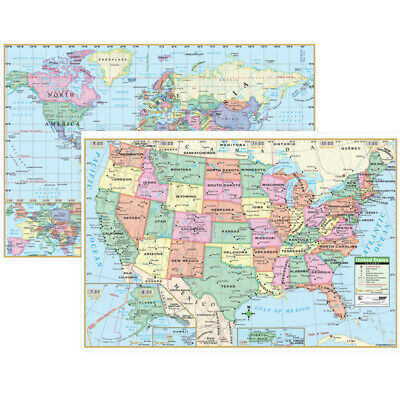
and I am including a bonus map entitled, "Superior United States" created by "Hammond Inc."
These maps are in fair-good condition with some discoloration, small tears, markings, and a slight musty smell. Please see photos for a closer look.
If you have any questions regarding these fascinating maps, please do
not
hesitate to contact me! Thank you for looking at my listing!


